Monday | July 18
October 3, 2011 by admin
Filed under InnerSea Discoveries
Thomas Bay & Baird Glacier
“Everybody needs beauty as well as bread, places to play in and pray in, where nature may heal and cheer and give strength…” -John Muir
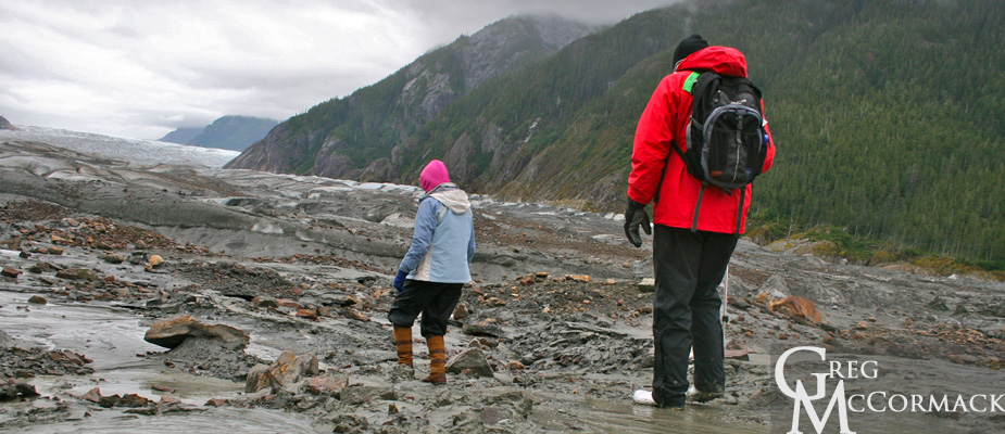
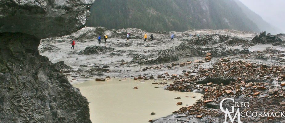
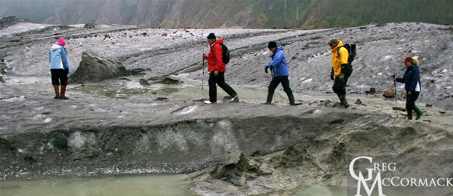
Today (despite the threatening clouds and persistant drizzle) was a fabulous day for a hike on the glacier. Any day on a river of ice is adventurous and all of our guests that joined us had a blast.
The Baird Glacier is so intriguing because of the numerous features that completely baffle the mind as to how they were formed.
Case in point. Partway up the snout of the glacier are a series of longitudinal ablation crevasses that have closed back up and look like sutures on a skull. Pyramids of ice burst up and through these visible fissures and they are completely covered in sand. Sand just inches in thickness, often wet due to the melting ice that lies beneath.
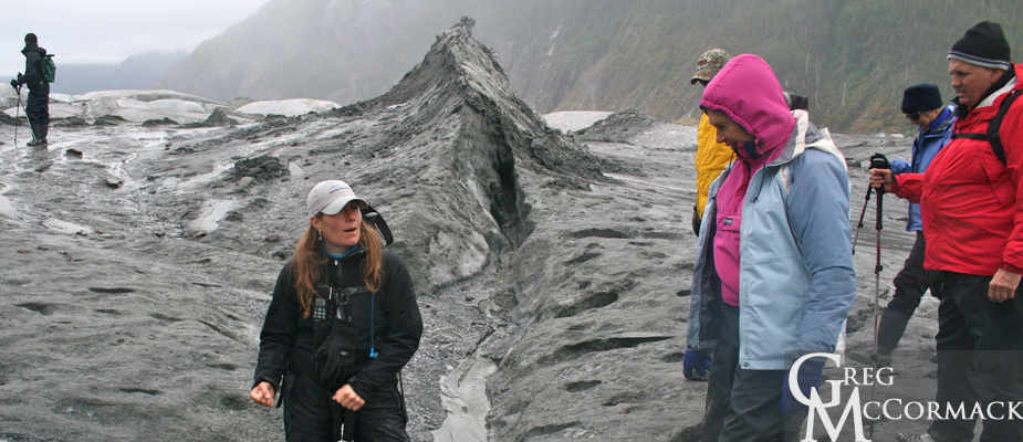
Could it be the result of a jokuhlaup or glacial outburst flood? The pressure of the water pushing up through old crevasses in the ice? Who knows? It is fun to theorize.
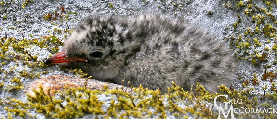
We do see a baby tern chick that hides and stays hidden behind a cobblestone.
Other sights:
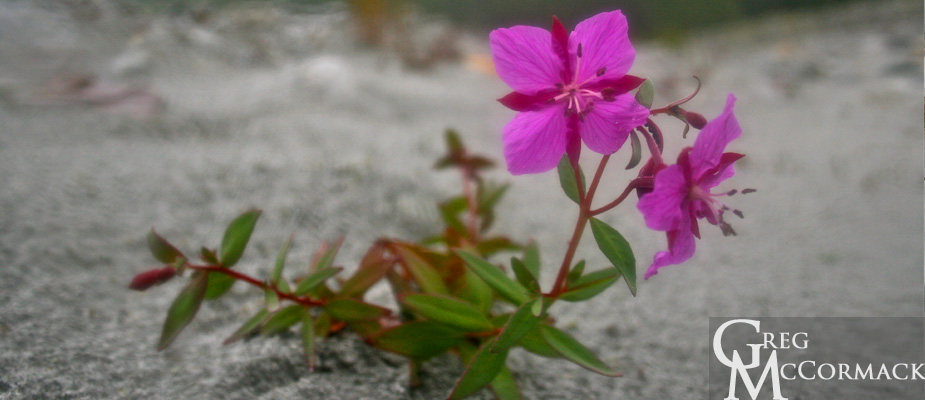
• a push or terminal moraine • moulins on the ice surface that look like blue swirling toilet bowls • a Semi-Palmated Plover that shows us the “broken-wing” tactic • soft, vibrant green mosses with islands of foliose lichens, pinkish blossoms of the Dwarf Fireweed or River Beauty (Epilobium latifolium) • 100’s of 1000’s of river-rounded granitic boulders in front of the glacier and angular, iron-rich rocks on top of the glacier • Arctic Terns dropping down to the waters surface to collect inch-long krill; others fly back to chicks holding fish in their bills • Harbor seals plying the waters in front of the river
The Baird Glacier comes off of the Stikine Icefield, an area that is approximately 100 miles long from the Whiting River in the north to the Stikine River in the south and about 30 miles wide from tidewater up and over the crest of the Coast Range past the international boundary into British Colombia, Canada.
Our trip upriver was very eventful. Melt-waters of raging Class II rapids. Our larger, heavier boat with 8 passengers barely makes headway. Both boats hit rocks, doing damage to the props. The banks of the river are loosely sorted boulders piled up high and it’s difficult to make progress upriver. For 5 minutes—at full throttle—we make about 200 feet of progress and finally make it to a safe landing spot.
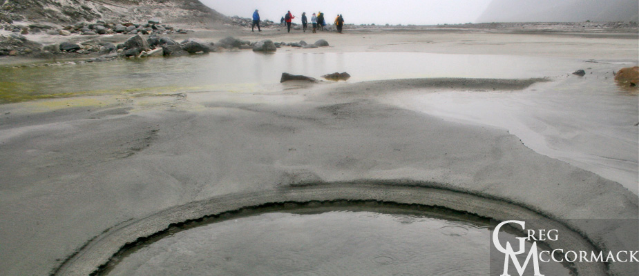
We hike about a kilometer to the terminal moraine directly in front of the glacier. The remnants of broken pieces of ice create boot-sucking mud pits that are best to avoid. Curiosity always makes a few folks push down with just the right amount of pressure on a mud spot to create liquefaction.
Seeing geology in action is what the concept of uniformitarianism is all about, i.e. “the present is the key to the past”. This is what makes the study of the earth so fascinating. One can deduce what is visible in the here and now to landscapes and processes that have been going on for millennia, periods, eras and eons of time.


